

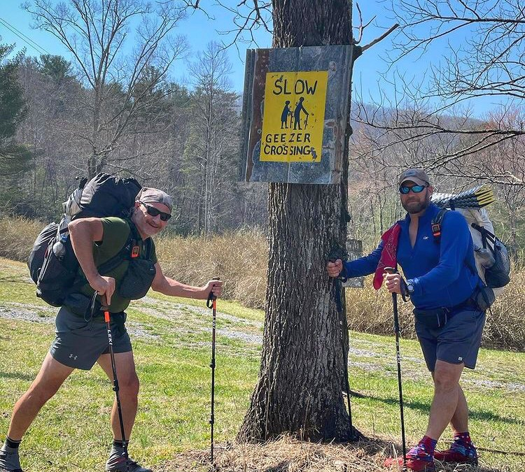
One of our 2021 Trail Team members, Catmando, is preparing for his Pacific Crest Trail trek by shaking down on the Benton MacKaye. Here, Catmando gives us a brief history of the trail, how it is intertwined with the Appalachian Trail, and what to expect if you find yourself wanting to hike it in the future:
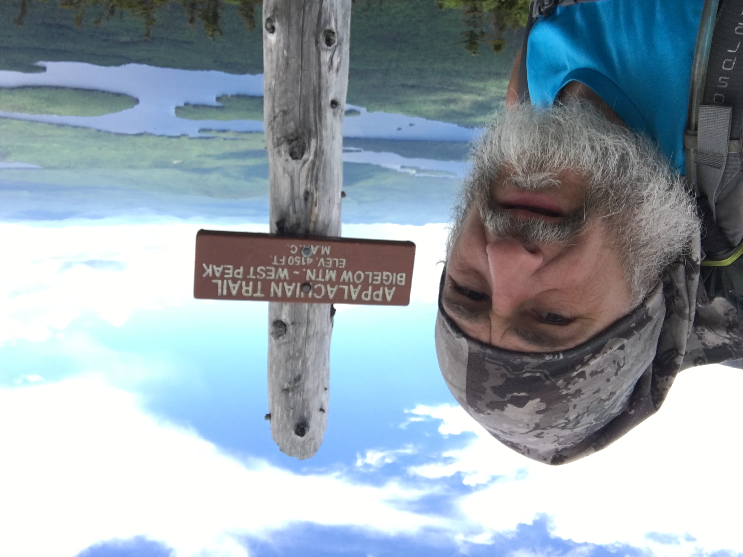
Benton MacKaye was in his day, a champion for conservation, he worked alongside of Bob Marshall and John Muir to name a few of the visionaries of his time. History of MacKaye is not exactly flattering as he had the nature of being disagreeable, abrupt and stubborn, in several writings the word curmudgeon appears. Sometimes the gruff and unyielding personalities get things done, but the lingering bad taste however often overshadows the good they intended. I suspect that was the case for Mr. MacKaye. By Trade, he was a Forester from Massachusetts, a conservationist and a regional planner. His biggest legacy project was that he originally proposed a trail (AT) from Georgia to Maine along the Appalachian mountain chain (1921). It took MacKaye four years to get enough people invested in his idea and in 1925, the ATC was developed and started mapping out the trail. Constant conflict of personalities and visions created a parting of the ways on this project, though his dogged determination got the ball rolling, it was the more pragmatic Myron Avery’s leadership and vision that saw the completion of the AT in 1937. The AT was however an all-out team effort utilizing hundreds of volunteers to become a reality.
In MacKaye’s planning, he also envisioned a network of shorter trails branching out and rejoining the AT to make long wilderness loops. His vision was more romanticized in keeping the trail deeper into the wilderness, making it more remote. This inspired the trail idea for the BMT that was conceived by Dave Sherman in 1975, it was completed in 2005. The trail intersects the AT (4 times) and the Pinhoti trail too.
The 288-mile BMT stretches north from Springer Mountain, Georgia to the northeast corner (Davenport Gap) of the Great Smoky Mountains National Park. (GSMNP) The trail is nearly 300 miles long and is rated in difficulty matched to that of the AT. Unlike the AT, the trail is more primitive- providing more solitude as it passes through eight wilderness areas. In contrast, there are only two shelters on the trail! The highest point is 5,842’, (Mount Sterling) and the lowest is 755’, average grade is 6%, ascent totals are 53,404’ and descents are 55,479’ respectively. The BMT starts in Georgia and winds thru North Carolina ending in Tennessee. The BMT is the longest trail through the Smokies at 93 miles. The trail is blazed with white diamonds 5” across by 7” high, there are several stream and river crossings too. Rejoining the AT at Fontana dam near the 195 mile north bound (NOBO) marker, both trails enter the Smokies. the BMT takes a scenic 37 mile parallel along Fontana Lake. Water carries are minimal and are only needed in the most mountainous sections as water is generally very abundant.
At this juncture, a hiker will need a permit to hike and camp in the Smokies. A permit is also needed on the AT section as well, the permit is the only one you must pay for on either trail, it is $5 a day or $20 for the week you will travel through. It is only good for the dates you choose, and it can be revised as you go. You can either purchase online or call the GSMNP to obtain your backcountry permit. A thru hiker will need to project when they plan to enter the park and where they will camp for the duration of their hike. The tricky part, just like the AT, you need to cover some 190 miles first! Because of elevation, the Smokies can get very cold in late winter/ early spring. My first time through I witnessed temperature as low as -5 degrees Fahrenheit, often single digits during the day, a friendly reminder to sleep with your water filter and make sure you stretch your shoes open at night, so they are not frozen close in the morning!
It’s advisable in my opinion to always check weather forecasts and be prepared for winter-like conditions all the way thru mid-May. Depending on weather is also when black bears come out of hibernation, properly hanging your food is recommended away from your camping area. I personally use the PCT hang method and recommend practicing that before you go to hone that particular skill. Follow along my journey of the BMT as I will start my hike on March 7 th . I’m using this adventure to get in trail shape and do a shakedown for my upcoming SOBO of the PCT in July! I am hiking with a tramily member – Farmer and along the way another tramily member, Resident Daddy (RD). We will be joined with another AT thru hiker – Fresh Legs, a great young man I met in the middle of the hundred- mile wilderness in Maine! I can’t wait to meet this year’s class of AT hikers and upon my mike’s conclusion, I hope to catch up to legendary Fresh Ground and feed hikers for a week!! Happy Trails y’all!
Catmando
You can follow Catmando’s adventures on his ,Instagram and he is also hiking to benefit an amazing cause called ,Old Glory Service Dogs.