How to Use Mapping (beyond FarOut) Technology on the Trail
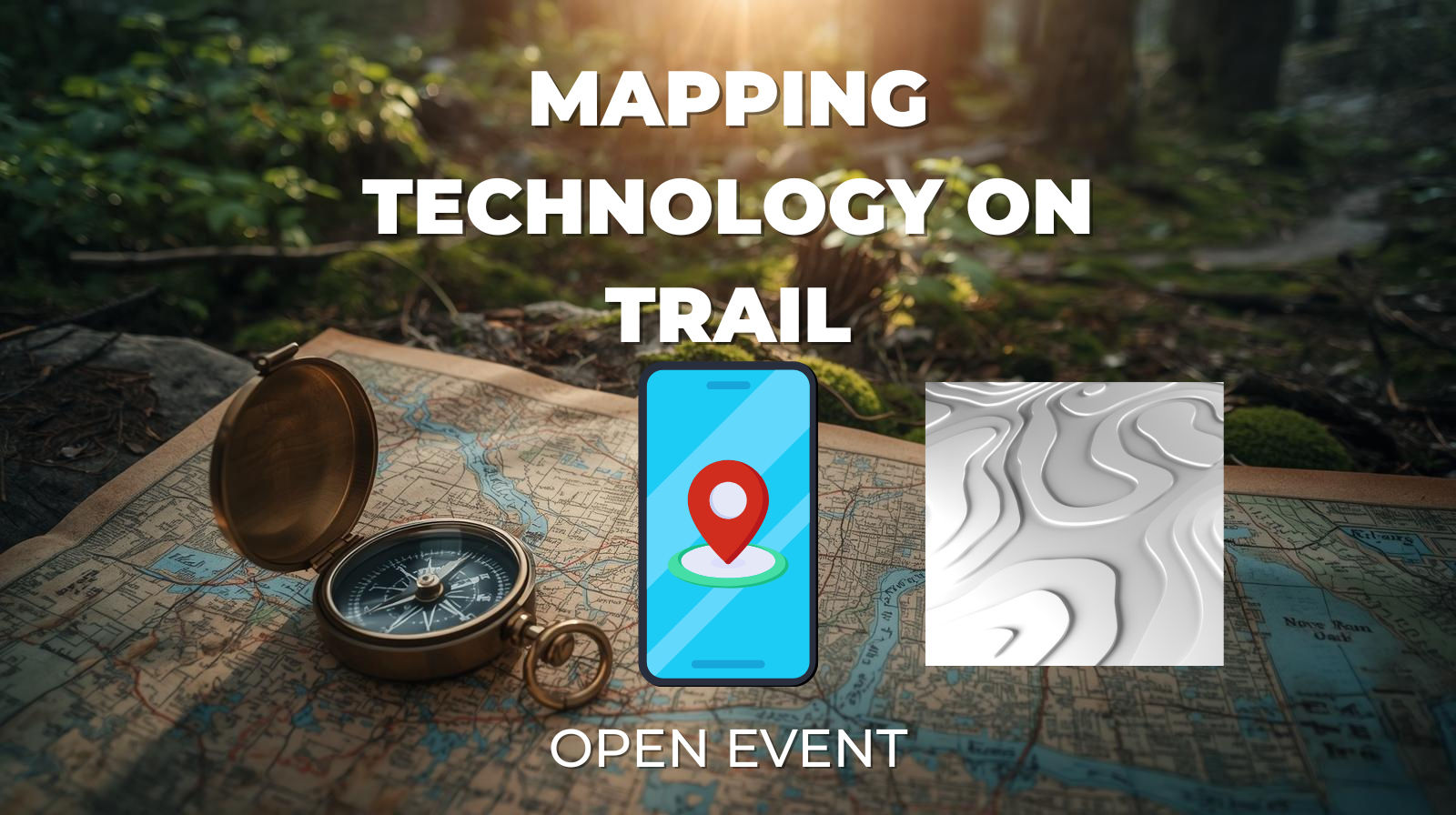
Join us for a practical, hands-on session focused on using modern mapping technology to travel smarter and safer in the backcountry. This meeting will cover essential skills for navigating on the trail using digital maps, with real-world examples and demonstrations.
We’ll explore how to:
- Read and interpret topographic maps
- Understand slope angle and terrain features
- Assess weather impacts using mapping tools
- Perform effective route finding
- Use map layering to combine terrain, weather, and land-use data
The session will showcase these capabilities using Gaia GPS and CalTopo, highlighting how each platform can be used individually and together to enhance trip planning and decision-making in the field. Whether you’re new to digital navigation or looking to refine your skills, this meeting will provide practical insights you can immediately apply on your next adventure.
Register Here, or click the link under “Website” below to sign up for this free community meetup.
This meetup date and time is listed in Eastern Time. You can use this Time And Date Calculator to calculate what time and date this is for you (use “New York” for our location).
Whether you’re new to digital navigation or looking to refine your skills, this meeting will provide practical insights you can immediately apply on your next adventure.
This will be hosted by “Vegas” and “Just Mike”